Salty Offshore
By Ryan Coughlin
- Category Sports
- Release Date 2025-06-11
- Current Version 3.8.4
- File Size 138.36 MB
- Links Google Play
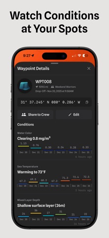
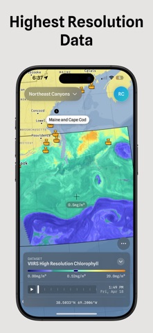
Learn from every day on the water. Salty brings ocean conditions and your own fishing history together. Compare the water before a trip. Record the run and mark bites as they happen. Review the trail and conditions afterward, so every trip adds to what you know. Read More of the Water • Stack sea surface temperature, chlorophyll, currents, salinity, mixed layer depth, and more • Refine the range and choose the colors • Add eddies or shaded relief to see important water and structure in one view Record the Day • Trip Tracker records your route, speed, and depth • Mark bites and catches from the Lock Screen or with Siri while a trip is active • Afterward, Salty adds ocean conditions along the trail for you to review Track Your Spots • Drop a waypoint and check its current conditions and recent changes • Create a watch for the range you care about • Salty notifies you when it is met Share the Exact View • Send a map link that opens the same region, layers, ranges, and satellite frame • Share waypoints with your crew as the day unfolds Know Your Data • See when satellite imagery was captured, how much water it covers, and which passes are available • Turn on alerts when new sea surface temperature or chlorophyll imagery arrives Prepare for Offshore • Save maps and layer setups for fast recall • Download supported regions before you lose service • Import and export GPX files between Salty and your chartplotter Start with a free preview. Compare the water, record your next trip, and keep a history you can learn from. Features and data availability vary by plan and region. Terms of Use (EULA): https://www.apple.com/legal/internet-services/itunes/dev/stdeula/ Privacy Policy: https://saltyoffshore.com/privacy